

Combining driving with Metro, Tram and Marine transport
In Dubai, the fastest route to some destinations isn't a road at all. This page explains how to plan a trip that combines driving with public transport, including the last mile.
Read the RTA Smart Drive guideWhy multimodal planning matters here
Navigation in Dubai includes more than roads. The Metro, the Tram and the Marine Transport network all serve the same city, and RTA Smart Drive maps their stations alongside the street network. That single layer of station data is what makes a combined trip plannable instead of improvised.
Driving to a dense area and hunting for parking can take longer than driving to a station and continuing on rail. Multimodal planning is about choosing where to switch, not about avoiding your car entirely. The switch point is the decision that saves the time.
It helps to think in three parts: the drive to a station, the transit leg, and the walk at the end. Each part can be planned separately and then stitched together. When one part fails, the whole trip feels slow — so the plan is worth ten minutes before you leave.
Drive to a station
Pick a station with parking near your origin so the first leg stays short.
Ride the network
Metro, Tram or Marine Transport carries you into the congested or coastal part of the trip.
Walk the last mile
Finish with a known building reference instead of circling the block.
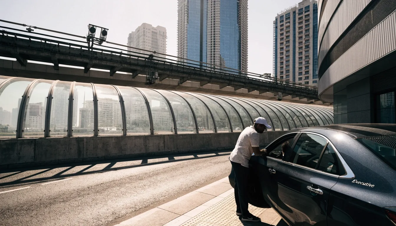
Dubai Metro as a route anchor
Metro station mapping inside the same app you already use for driving is what turns a rail trip into a plan rather than a guess.
The Metro is frequently part of multimodal trip planning in Dubai, and it's the backbone of any drive-and-ride plan. RTA Smart Drive includes Metro station mapping, so you can see stations inside the same app you use for driving — no second tool, no screenshot saved to your camera roll.
The practical approach is to pick a station with parking near your origin, drive there, and take the Metro into the congested part of your trip. You avoid the worst traffic and the parking search at the same time.
Two details decide whether this works on the day. First, whether the station actually has parking you can use at that hour — some are easy, some are not. Second, how far the station entrance sits from your final door, which is where a building reference helps.
For a destination deep inside a busy district, driving the last few kilometres often costs more time than the rail leg itself. That is the case where the switch pays off most clearly.
Compare navigation appsDubai Tram and where it fits
The Dubai Tram is part of the city's multimodal transport ecosystem and is included in RTA Smart Drive location data. It is most relevant for coastal and dense urban areas, where its route runs close to destinations that are awkward by car.
If your destination is along the Tram line, driving all the way there is often the slower option. Tram access matters more than driving directions in exactly those cases.
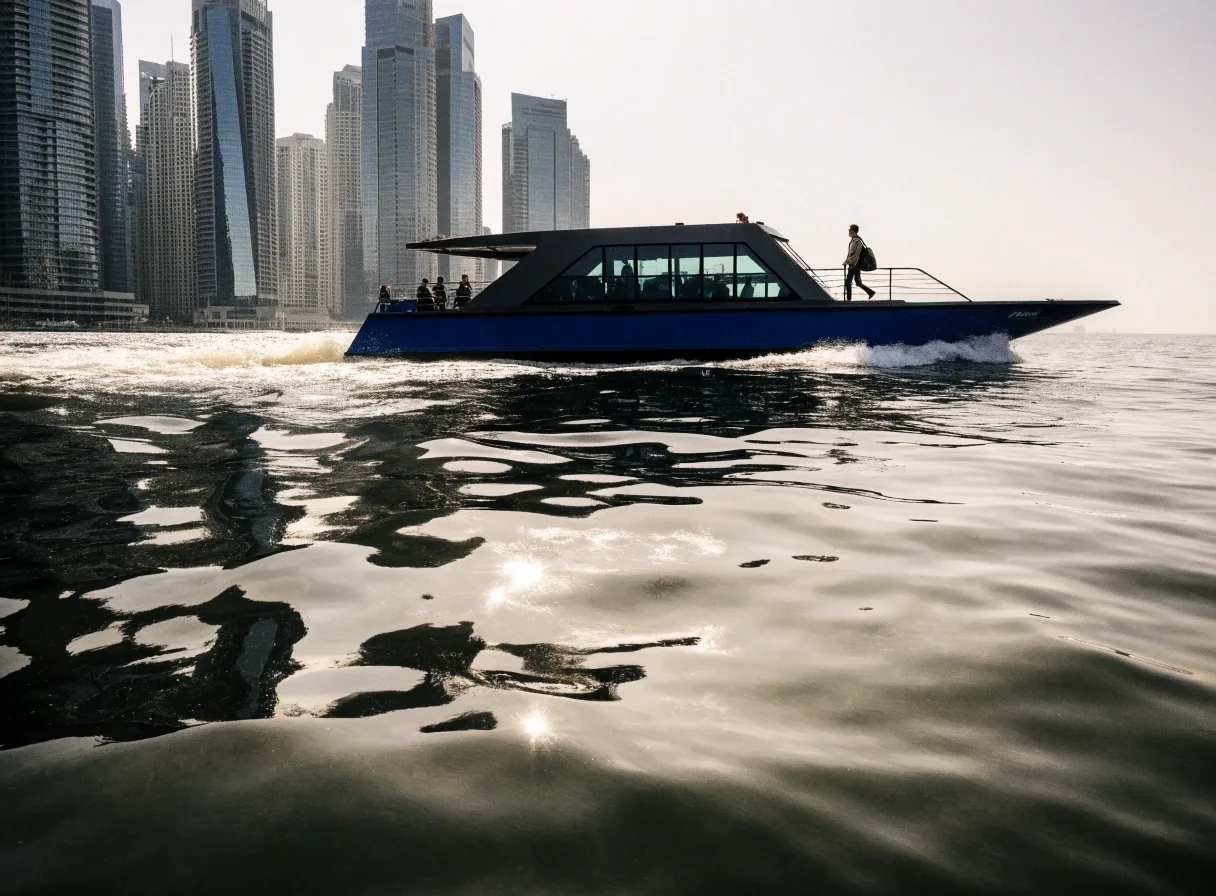
Marine Transport, the overlooked option
Dubai Marine Transport is part of Dubai's broader mobility network and appears in RTA Smart Drive's map locations. It is relevant for destination planning near waterfront districts, where a short crossing can replace a long road loop around an inlet.
It is the option most people forget, and it is genuinely useful when your destination sits on the water. For a waterfront trip, checking the marine route before defaulting to a car is worth the minute it takes.
Treat it as one more line on the map rather than a special occasion. If the stop is close to where you are going, it belongs in the plan alongside the road options.
Planning the last mile
Last-mile navigation is where multimodal trips succeed or fail. The question is how you get from the station or stop to the actual door.
Use the building reference
Makani numbers help here. If you know the building's 10-digit number, you can search it and walk the final stretch with confidence rather than circling a block.
Read the exit before you arrive
Know which side of the station your exit is on. A wrong exit can add a road crossing and a long walk that no route recalculation will fix.
Keep the destination pinned
Set the final destination before you leave the car, so the walking leg is already the active target when you step off the train or tram.
Budget the walk honestly
A short walk in the morning is a different walk in the afternoon heat. Add the minutes you would actually take, not the ones you would take in winter.
A practical multimodal routine
Four checks, in order. Run them once and the plan holds; skip the parking check and the plan usually falls apart on the day.
-
1
Check whether a stop is near the destination
Start by identifying whether your destination is near a Metro, Tram or Marine Transport stop. If it is, plan to drive to a convenient station and switch. If it isn't, driving the whole way may still be best.
-
2
Choose the station you can actually park at
Check the station's parking situation before you commit, since not every station is easy to park at. A slightly longer drive to a calmer station often beats five laps around a busy one.
-
3
Set the destination with a building reference
Then set the final destination with a Makani number so the walk at the end is direct. The reference survives the switch between driving and walking, which a street name often does not.
-
4
Leave a margin for the transfer
Getting from the car to the platform takes longer than it looks: parking, payment, stairs or a lift, then the wait. Add a few minutes for the transfer rather than planning to the second.

When driving wins
Multimodal planning isn't always the answer, and it is worth saying so plainly.
For destinations outside the transit network, or trips with cargo, or late-night travel, driving is simpler. Carrying equipment, moving between several stops in one afternoon, or travelling after the last service all point the same way.
The point isn't to replace your car. It's to know when switching to rail or water saves you time, and to plan that switch deliberately rather than discovering it after you've been stuck in traffic. Knowing the limit of the method is part of using it well.
Guides that finish the picture
A combined trip touches several parts of navigation at once. These pages cover the ones this one leans on.
Common questions
The three questions readers ask most about combining a car with rail or water.
Is the Metro part of Dubai navigation apps?
RTA Smart Drive includes Metro station mapping alongside the road network, which makes it useful for combined driving and transit trips. You do not need a separate app to see where the stations sit.
When is the Dubai Tram more useful than driving?
For coastal and dense urban destinations along its route, where parking is difficult and traffic is slow. In those cases the Tram can be faster than driving all the way, especially when you would otherwise spend time searching for a space.
How do I plan the last mile of a multimodal trip?
Use a Makani number for the destination so you can search it and walk directly to the building entrance rather than circling the block. Set it before you leave the car, so the walking leg is already the active target when you step off.
Should I check the driving leg before choosing a station?
Yes. Traffic and roadworks on the way to a station can erase the time the rail leg saves, so check the drive before you commit. The live traffic guide covers how to read those conditions before leaving.
Start with the station, finish with the door
Read how RTA Smart Drive maps roads and transit stops together, then set your destination with a building reference so the last mile is a straight walk.
UAE Road Map and Navigation Guide
Practical English-language guidance for driving and multimodal travel across the Emirates: route planning, addresses, tolls, live conditions, and how the main navigation apps handle each of them.
Office 1403, Al Shatha Tower, Sheikh Zayed Road, Dubai, United Arab Emirates
Monday to Friday: 9:00 AM – 6:00 PM